A fully redesigned Go-California.com will launch soon. Watch for it!
Introduction

Lodging
RV Parks / Camping
RV Rental

Houseboating
Biking
Boating
Fishing
Golfing
Hiking
Horseback Riding
Offroad / ATV
Skiing/Boarding
Guides / Outfitters
Outdoor Gear

Attractions / Parks
Scenic Drives
Sightseeing Tours

Tourism Resources
Nearby Destinations
Transportation
Weather
Photo Gallery
|
Big Bear Lake California - Transportation
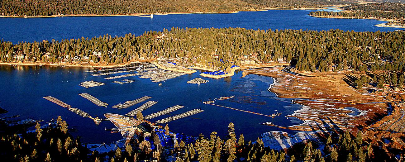
| Transportation information for Big Bear Lake, California is provided below. Travel information includes driving directions, maps, airport information and more. |
|
| |
 |
Getting There |
 |
| |
State Route 18 and State Route 38 ring Big Bear Lake. Both pass
through Big Bear City. The lake is approximately 60 miles from San
Bernardino. |
| |
|
| |
|
 |
Rental Cars |
 |
|
| |
Save 50% on Weekends. Great Cars and Free Pick-Up. BOOK NOW! Enterprise Rent-A-Car offers great rates and great service. Choose from over 6,500 locations near your home, work or destination. Enterprise even offers vans and SUVs for that special trip. |
|
 |
Airport Information |
 |
| |
The Ontario Airport, which is about 20 miles west of San Bernardino,
is the closest large airport to Big Bear Lake. There is a small
airport open to private planes in unicorporated Big Bear City, just
east of Big Bear Lake. |
| |
|
|
|
|
|