


Presented below are Tour Companies that offer guided hiking trips and adventures in and near Joshua Tree NP. Click on any name for more detailed information.
Joshua Tree National Park Hiking Guides & Outfitters
Search Joshua Tree National Park Hiking Guides & Outfitters
tour Results
Plot just the current page's results
Plot all results
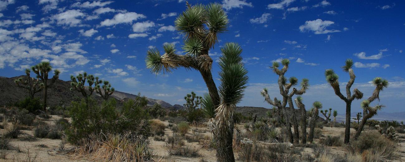
Joshua Tree National Park Hiking Trails
Search Joshua Tree National Park Hiking Trails
hiking Results
Plot just the current page's results
Plot all results

14 hiking Results
More Info Barker Dam
- 1.3 mile loop
- Easy
More Info Black Rock Trail
- 2-3 hours
- Intermediate
More Info Cholla Cactus Garden
- 1/4 mile loop
- Easy
More Info Covington Flat
- 4-6 hours
- Difficult, Intermediate
More Info Eureka Peak
- 10 miles
- 6-8 hours
- Difficult
More Info Johnny Lang Canyon
- 8-10 hours
- Difficult, Intermediate
- Loading
Your request has been processed, thank you!
We also have the following visitor guides in California. Click on any additional guides you would like to receive.


Temecula Valley Southern California Wine Country
Temecula Valley

Lake Havasu City Western Arizona
Lake Havasu City

Visalia Sequoia and King's Canyon National Parks
Visalia

Carmel-By-The-Sea Monterey Peninsula
Carmel-By-The-Sea

Oceanside Southern California
Oceanside

Visit Buena Park Southern California
Visit Buena Park

Catalina Island Southern California
Catalina Island

Vallejo Bay Area
Vallejo
Specialty Guides

Maverick Helicopters Nevada, Arizona, Hawaii, and California
Maverick Helicopters
We also have visitor guides available in states highlighted in blue below. Click on any state to see what's available.
- Alaska
- Arizona
- California
- Canada
- Colorado
- Hawaii
- Idaho
- Louisiana
- Michigan
- Montana
- Nevada
- New Mexico
- Ohio
- Oregon
- Texas
- Utah
- Washington
- Wyoming


