


Transportation information for Santa Barbara is provided below. Travel information includes driving directions, maps, airport information and more.
Transportation Services
Lucky Cab
- Santa Barbara
- Transportation Services
- 805-968-5020
RockStar Taxi & Limousine
- Santa Barbara
- Transportation Services
- 877-418-7267
Airports
Santa Barbara Municipal Airport provides direct flights into Santa Barbara from major Californian cities and half a dozen western hubs, including Denver, Phoenix, and Dallas/Ft. Worth. The city is also served by Amtrak trains and the Greyhound bus system.
Santa Barbara Municpal Airport
- 7 miles W from Santa Barbara
- SBA
- Public
- 805-967-7111
Santa Maria Pub/Capt G Allan Hancock Field
- 3 miles S from Santa Maria
- SMX
- Public
- 805-922-1726
Map + Directions
Basic Directions
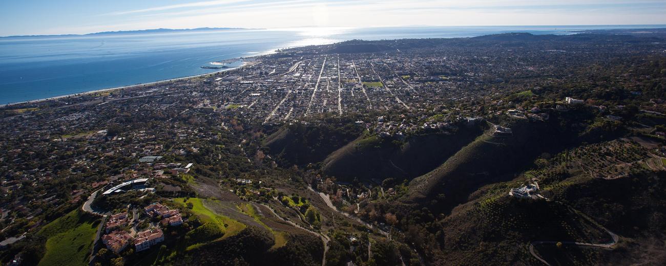
Santa Barbara is located on the southwest California coast on Pacific Highway 1. It is about 90 miles west of Los Angeles and 130 miles south of the Big Sur Coast. Oxnard and Ventura are about 30 miles to the east of Santa Barbara, and Channel Islands National Park is about 30 miles offshore.


