


Presented below are Tour Companies that offer guided hiking trips and adventures in and near Yosemite NP. Click on any name for more detailed information.
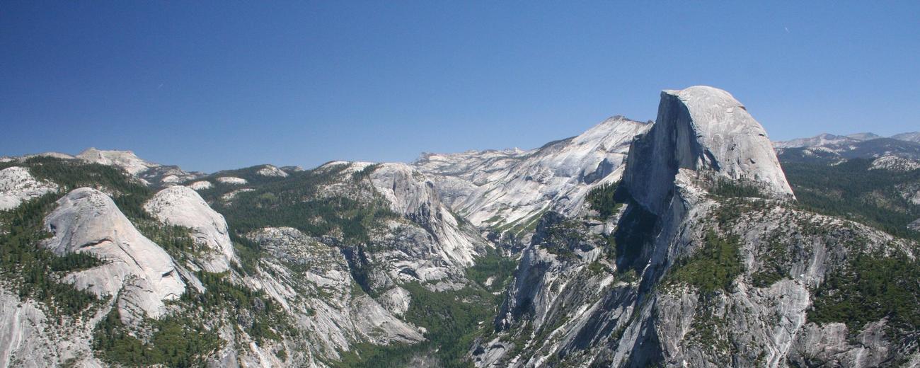
Yosemite National Park Hiking Guides & Outfitters
Search Yosemite National Park Hiking Guides & Outfitters
tour Results
Plot just the current page's results
Plot all results

3 tour Results
More Info Lasting Adventures
- Groveland
- 1-800-513-8651
More Info Official Website Southwest Adventure Tours
- National Park Tours, Hiking, Sightseeing and Transportation Services
- 435-590-5864
More Info Yosemite Mountaineering School
- Yosemite National Park
- 801-559-4884
Yosemite National Park Hiking Trails
Search Yosemite National Park Hiking Trails
hiking Results
Plot just the current page's results
Plot all results
19 hiking Results
More Info Bridalveil Fall
- 0.5 miles
- 20 minutes
- Easy
More Info Chilnualna Falls
- 8.2 miles (13.1 km) round-trip
- Difficult
More Info Dog Lake and Lembert Dome
- 2.8 - 4 miles
- 3-4 hours
- Difficult
More Info Elizabeth Lake
- 4.8 miles (7.7 km) round-trip
- 4 to 5 hours
- Intermediate
More Info Gaylor Lakes
- 2 miles (3.2 km) round-trip
- 2 hours
- Intermediate
More Info Glen Aulin
- 11 miles (17.7 km) round-trip
- 6-8 hours
More Info Lookout Point
- 2 miles (3.2 km) round-trip
- 1 hour
- Intermediate
More Info Lower Yosemite Fall
- 1 mile/1.6 km loop
- 1/2 hour
- Easy
More Info Mariposa Grove of Giant Sequoias
- 1.6 - 6.9 miles
- 1 - 5 hours
- Intermediate
- Loading
Your request has been processed, thank you!
We also have the following visitor guides in California. Click on any additional guides you would like to receive.


Temecula Valley Southern California Wine Country
Temecula Valley

Lake Havasu City Western Arizona
Lake Havasu City

Visalia Sequoia and King's Canyon National Parks
Visalia

Carmel-By-The-Sea Monterey Peninsula
Carmel-By-The-Sea

Oceanside Southern California
Oceanside

Visit Buena Park Southern California
Visit Buena Park

Catalina Island Southern California
Catalina Island

Vallejo Bay Area
Vallejo
Specialty Guides

Maverick Helicopters Nevada, Arizona, Hawaii, and California
Maverick Helicopters
We also have visitor guides available in states highlighted in blue below. Click on any state to see what's available.
- Alaska
- Arizona
- California
- Canada
- Colorado
- Hawaii
- Idaho
- Louisiana
- Michigan
- Montana
- Nevada
- New Mexico
- Ohio
- Oregon
- Texas
- Utah
- Washington
- Wyoming


