The Caliente Range forms the western border of the Carrizo Plain National Monument, and Caliente Mountain is the highest point in San Luis Obispo County. This is an isolated area, with the Cuyama Valley and the Los Padres National Forest situated on the other side of the Range.
We also have the following visitor guides in California. Click on any additional guides you would like to receive.
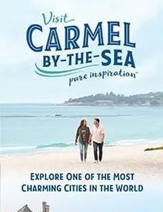
Carmel-By-The-Sea Monterey Peninsula
Carmel-By-The-Sea
Monterey PeninsulaIn Carmel-by-the-Sea you can dine at a number of four-star restaurants or eat al fresco at the beach. You can collect art or just covet art at almost 100 galleries and antique shops and you can buy anything from trinkets to Tiffanys. Even those who travel the world are unlikely to encounter another place that has so much to offer in one location. Request this Free Visitor GuideRequested!You're all set! Request a few more Visitor Guides, or complete the form below to receive your guides by mail.
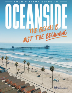
Oceanside Southern California
Oceanside
Southern CaliforniaOceanside is a classic California beach community with its warm sandy beaches, historic wooden pier and Cape Cod-style harbor village complete with unlimited water sports and recreation. Offering a quiet escape from the hustle and bustle, visitors still experience the casual spirit that made Southern California’s beach culture legendary. Request this Free Visitor GuideRequested!You're all set! Request a few more Visitor Guides, or complete the form below to receive your guides by mail.
Catalina Island Southern California
Catalina Island
Southern CaliforniaDiscover the magical island of Catalina, just off the coast of Southern California. Whether you are looking for a romantic getaway, a place to bring the entire family, or a place to unwind for a few days, Catalina Island is the perfect destination. Request this Free Visitor GuideRequested!You're all set! Request a few more Visitor Guides, or complete the form below to receive your guides by mail.
Lake Havasu City Western Arizona
Lake Havasu City
Western ArizonaWelcome to Lake Havasu City…where you can Play Like You Mean It®! Located on the Arizona shoreline of Lake Havasu, Lake Havasu City is a destination for boaters, water sport enthusiasts, hikers, nature lovers, car enthusiasts and history buffs. It attracts 775,000 visitors a year with its calm waters, beautiful beaches and desert weather with more than 300 sunny days a year. Request this Free Visitor GuideRequested!You're all set! Request a few more Visitor Guides, or complete the form below to receive your guides by mail.
Specialty Guides
Maverick Helicopters Nevada, Arizona, Hawaii, and California
Maverick Helicopters
Nevada, Arizona, Hawaii, and CaliforniaUnforgettable Tours Offered in Nevada, Arizona, Hawaii, and California. Request this Free Visitor GuideRequested!You're all set! Request a few more Visitor Guides, or complete the form below to receive your guides by mail.
We also have visitor guides available in states highlighted in blue below. Click on any state to see what's available.
Alaska
Arizona
California
Canada
Colorado
Hawaii
Idaho
Michigan
Montana
Nevada
New Mexico
Ohio
Oregon
Texas
Utah
Washington
Wyoming
Switch to Mobile Browser Mode
We offer a compact version of Go-California for mobile users, allowing you to access just the information you need on the road. Of course, you can still use the full version of Go-California on your mobile device just as you can on your desktop.