


There are miles of trail and road to be trod between the five main Channel Islands which run from easy, well-signed routes to more strenuous mountain treks. Hiking guides and outfitters offering guided hiking trips in and near Channel Islands National Park are listed below. Click on any name for more information.
Channel Islands National Park Hiking Guides & Outfitters
Search Channel Islands National Park Hiking Guides & Outfitters
tour Results
Plot just the current page's results
Plot all results
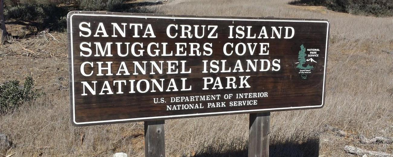
Channel Islands National Park Hiking Trails
Search Channel Islands National Park Hiking Trails
hiking Results
Plot just the current page's results
Plot all results

16 hiking Results
More Info Arch Point
- 2 miles
- Intermediate
More Info Black Mountain
- 8 miles
- Difficult
More Info Cathedral Cove
- .6 miles
- Easy
More Info Cherry Canyon
- 3.5 mile loop
- Intermediate
More Info Chinese Harbor
- 15.5 miles
- Difficult
More Info Del Norte Camp
- 7 miles
- Difficult
More Info Elephant Seal Cove
- 5 miles
- Difficult
More Info Pelican Bay
- 4 miles
- Difficult, Intermediate
More Info Pinniped Point
- .4 miles
- Easy
More Info Potato Harbor
- 5 miles
- Intermediate
- Loading
Your request has been processed, thank you!
We also have the following visitor guides in California. Click on any additional guides you would like to receive.


Temecula Valley Southern California Wine Country
Temecula Valley

Lake Havasu City Western Arizona
Lake Havasu City

Visalia Sequoia and King's Canyon National Parks
Visalia

Carmel-By-The-Sea Monterey Peninsula
Carmel-By-The-Sea

Oceanside Southern California
Oceanside

Visit Buena Park Southern California
Visit Buena Park

Catalina Island Southern California
Catalina Island

Vallejo Bay Area
Vallejo
Specialty Guides

Maverick Helicopters Nevada, Arizona, Hawaii, and California
Maverick Helicopters
We also have visitor guides available in states highlighted in blue below. Click on any state to see what's available.
- Alaska
- Arizona
- California
- Canada
- Colorado
- Hawaii
- Idaho
- Louisiana
- Michigan
- Montana
- Nevada
- New Mexico
- Ohio
- Oregon
- Texas
- Utah
- Washington
- Wyoming


