


Presented below are Tour Companies that offer guided hiking trips and adventures in and near Death Valley NP. Click on any name for more detailed information.
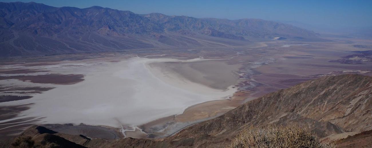
Death Valley National Park Hiking Guides & Outfitters
Search Death Valley National Park Hiking Guides & Outfitters
tour Results
Plot just the current page's results
Plot all results

1 tour Results
More Info Official Website Southwest Adventure Tours
- National Park Tours, Hiking, Sightseeing and Transportation Services
- 435-590-5864
Death Valley National Park Hiking Trails
Search Death Valley National Park Hiking Trails
hiking Results
Plot just the current page's results
Plot all results
11 hiking Results
More Info Darwin Falls
- 1 mile
More Info Death Valley Buttes
- 1.2 mile to top of first butte
- Difficult
More Info Desolation Canyon
- 3 miles
- Intermediate
More Info Fall Canyon
- 3 miles, one-way.
- Difficult, Intermediate
More Info Golden Canyon Interpretive Trail
- 1 mile
- Easy
More Info Keane Wonder Mine Trail
- 1 mile
- Difficult
More Info Keane Wonder Springs
- 1 mile
- Intermediate
More Info Little Hebe Crater Trail
- 1/2 mile
- Intermediate
More Info Mosaic Canyon
- 1/2 mile to 2 miles
- Intermediate
More Info Natural Bridge Canyon
- 1 mile
- Easy
- Loading
Your request has been processed, thank you!
We also have the following visitor guides in California. Click on any additional guides you would like to receive.


Temecula Valley Southern California Wine Country
Temecula Valley

Lake Havasu City Western Arizona
Lake Havasu City

Visalia Sequoia and King's Canyon National Parks
Visalia

Carmel-By-The-Sea Monterey Peninsula
Carmel-By-The-Sea

Oceanside Southern California
Oceanside

Visit Buena Park Southern California
Visit Buena Park

Catalina Island Southern California
Catalina Island

Vallejo Bay Area
Vallejo
Specialty Guides

Maverick Helicopters Nevada, Arizona, Hawaii, and California
Maverick Helicopters
We also have visitor guides available in states highlighted in blue below. Click on any state to see what's available.
- Alaska
- Arizona
- California
- Canada
- Colorado
- Hawaii
- Idaho
- Louisiana
- Michigan
- Montana
- Nevada
- New Mexico
- Ohio
- Oregon
- Texas
- Utah
- Washington
- Wyoming


