


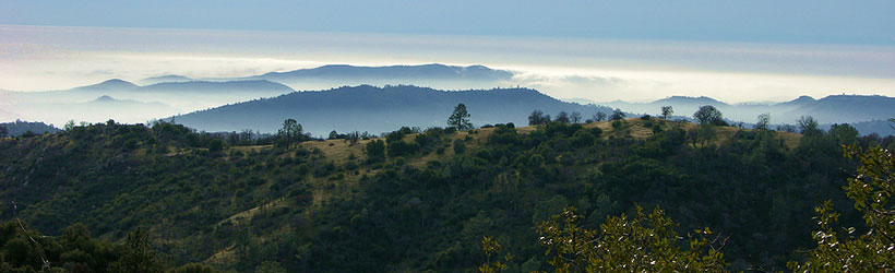
Presented below are Tour Companies that offer guided hiking trips and adventures in and near Fresno. Click on any name for more detailed information.
Fresno Hiking Guides & Outfitters
Search Fresno Hiking Guides & Outfitters
tour Results
Plot just the current page's results
Plot all results

5 tour Results
More Info Lasting Adventures
- Groveland
- 1-800-513-8651
More Info Official Website Muir Trail Ranch
- 92595 Kaiser Pass Rd, Lakeshore
- 209-966-3195
More Info Official Website Southwest Adventure Tours
- National Park Tours, Hiking, Sightseeing and Transportation Services
- 435-590-5864
More Info Official Website Wonder Valley Ranch Resort
- 6450 Elwood Road, Sanger
- 559-787-2551
More Info Yosemite Mountaineering School
- Yosemite National Park
- 801-559-4884
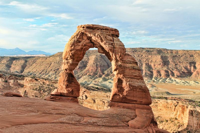
Fresno Hiking Trails
Search Fresno Hiking Trails
hiking Results
Plot just the current page's results
Plot all results
51 hiking Results
More Info Asbestos Trail
- 2-3 hours
- Intermediate
More Info Badwater Salt Flat
- 1/2 mile to 5 1/2 miles
- Easy
More Info Bajada All-Access
- 1/4 mile loop
- Easy
More Info Bordwell Park
- 1/2 mile
- Easy
More Info Bridalveil Fall
- 0.5 miles
- 20 minutes
- Easy
More Info Buena Vista Peak Trail
- .8 miles one way
- Easy
More Info Bulleye Rock at Indian Canyons
- 11 miles
- 6-8 hours
- Difficult
- Loading
Your request has been processed, thank you!
We also have the following visitor guides in California. Click on any additional guides you would like to receive.


Temecula Valley Southern California Wine Country
Temecula Valley

Lake Havasu City Western Arizona
Lake Havasu City

Visalia Sequoia and King's Canyon National Parks
Visalia

Carmel-By-The-Sea Monterey Peninsula
Carmel-By-The-Sea

Oceanside Southern California
Oceanside

Visit Buena Park Southern California
Visit Buena Park

Catalina Island Southern California
Catalina Island

Vallejo Bay Area
Vallejo
Specialty Guides

Maverick Helicopters Nevada, Arizona, Hawaii, and California
Maverick Helicopters
We also have visitor guides available in states highlighted in blue below. Click on any state to see what's available.
- Alaska
- Arizona
- California
- Canada
- Colorado
- Hawaii
- Idaho
- Louisiana
- Michigan
- Montana
- Nevada
- New Mexico
- Ohio
- Oregon
- Texas
- Utah
- Washington
- Wyoming


