California Map

go-california.com

Our new sites are now in beta, tell us what you think

Sierra Nevadas, California - Transportation

Maps, Directions, Airports, Rental Cars, Shuttles,...

Transportation information for Sierra Nevadas is provided below. Travel information includes driving directions, maps, airport information and more.

Results


Request Your Free Travel Planners

  • Transportation Services

Enterprise Rent-A-Car Get a free upgrade on your next rental - most Airport Locations. BOOK NOW! Enterprise Rent-A-Car offers great rates and great service. Choose from over 6,500 locations near your home, work or destination.

Basic Directions

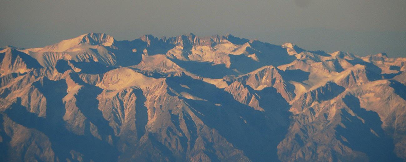
The 400 miles of the Sierra Nevada range can be accessed easily by many roads and highways throughout northeastern California.

Customizable Directions
From:    To: 
Language: 

Formatted DirectionsMap
DiscoverMoab-skyscraper

Email Page Link

Complete the form below to email this page to a friend or family member's email. You can send yourself an email as well. Your email and your recipient's email will NOT be shared with anyone. See our full Privacy Policy for details.
Your name:
Your email address:
Friend's email(s):


Send yourself a copy: Yes No
Subject:
Body: